

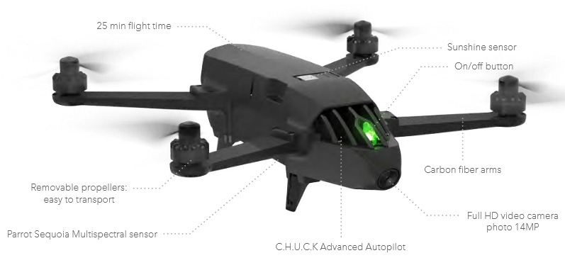
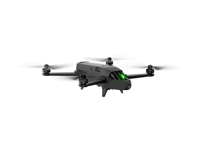
Parrot Drone for agricultural applications BLUEGRASS
TF:
00100-HW-PAR-041
MF:
00100-HW-PAR-041
Overview
Parrot Bluegrass Fields help you make smarter decisions with greater analysis by providing full access to Pix4DFields drone mapping software for agriculture.
| Camera | Multispectral cameras |
| Sensor | Altimeter, Ultrasound, Optical flow vertical camera |
| Range | Up to 1.24 mi with Parrot Skycontroller 2, in an unobstructed area free of interferences |
| connectivity | Wi-Fi AC-type, 2 bi-band antennas (2,4 and 5GHz) |
| Memory | 32GB of Flash Memory |
| Video & Photos | Capture 1080p Video and 14MP Photos |
| Range | Up to 1.2 Miles Line-of-Sight Range |
| GPS/GLONASS | GPS/GLONASS Inertial Navigation System |
| Mode | Add-On Follow-Me Mode Available |
| Weight | 4 lbs |
| Battery life | 25 mins 6700 mAh Lipo Battery |
Parrot Bluegrass Fields provides agriculture professionals with a better way to work, thanks to its unique combination of rugged drone, accurate sensors, easy-to-use mapping and scouting Parrot Fields app and robust post-processing software for agriculture. Parrot Bluegrass Fields is the only complete end-to-end drone solution designed from the ground up to make data collection and analysis quick, easy and efficient.